Habitat heterogeneity in 3D
Mapping and visualisation
Work package WP4 includes:
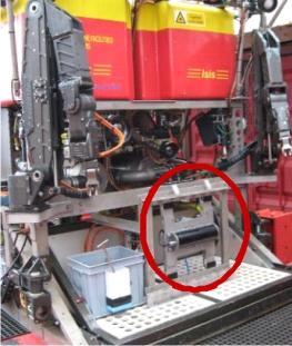
- Mapping of deep-sea cliffs and overhangs using underwater vehicles (AUV/ROV) in ‘sideways’ or ‘front-looking’ mode
- Visualisation through point-cloud models and voxel-based TINs (Triangulated Irregular Networks)
- Derivation of 3D habitat heterogeneity measures.
Results:
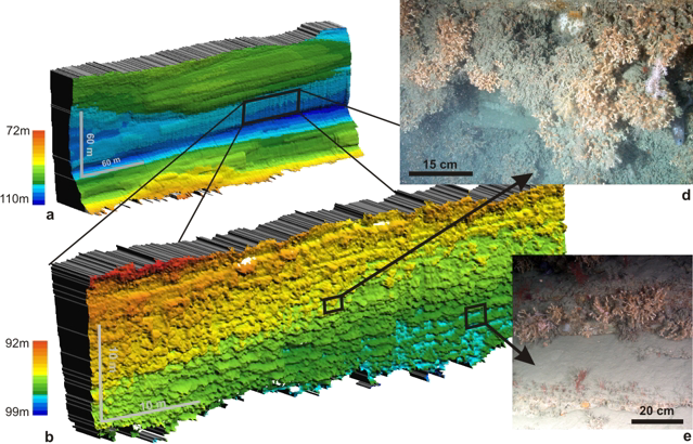
- Spectacular results of our initial tests of the 'front-looking' ROV-based mapping (Huvenne et al., 2011; PloS One)
- Application of this mapping technique to image a submarine landslide headwall scarp (Huvenne et al., 2016)
- Summary of the approaches developed in CODEMAP in a handy 2-page factsheet